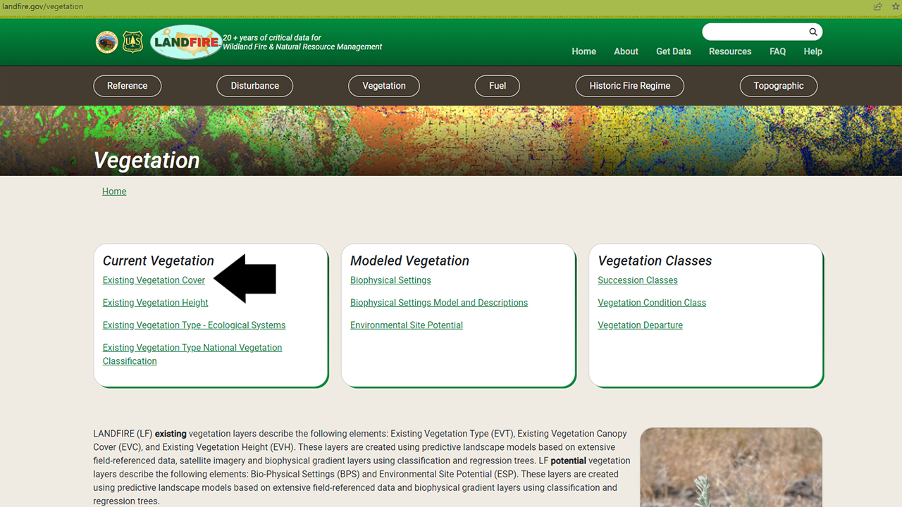
Existing Vegetation Cover
For the most up-to-date information on each LANDFIRE data product, please view the individual product pages on the LANDFIRE Program website.
What you will find in this section
An overview of the Existing Vegetation Cover data
Key attributes of the Existing Vegetation Cover data
Where to find Existing Vegetation Cover data
Common uses for Existing Vegetation Cover data
Existing Vegetation Cover
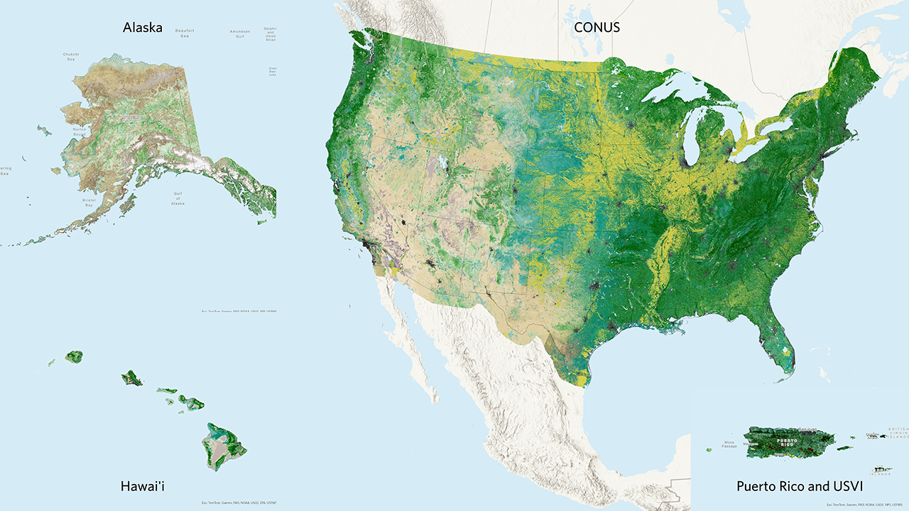
LANDFIRE’s Existing Vegetation Cover dataset, also known as EVC, works in tandem with the Existing Vegetation Type dataset to give a more detailed picture of the current vegetation on a landscape. EVC represents the percent cover of the live canopy layer for a 30-m cell.
EVC is generated separately for tree, shrub, and herbaceous cover lifeforms using training data and other geospatial layers. Only the primary upper layer lifeform is provided in each pixel. Percentage tree, shrub, and herbaceous canopy cover training data are generated using plot-level ground-based visual assessments and lidar observations.
LANDFIRE uses EVC in several subsequent layers, including the development of the fuel layers.
Key EVC Attributes include:
- CLASSNAMES: The main attribute of EVC. This combines the EVT lifeform with the percent cover of that lifeform for each 30m pixel. Key lifeforms are described below. As with all LANDFIRE layers, you can get more information about individual attributes from the EVC Attribute Data Dictionary (opens a pdf).
- Tree Cover: percent tree cover
- Shrub Cover: percent shrub cover
- Herb Cover: percent herbaceous/grassland cover
- Developed-Upland Vegetation: Five classes of developed upland vegetation
- Developed: Three classes of developed landscapes
- Developed-Roads: Pixels identified as roads
- Agriculture: Several classes of cropland and other agricultural land
Where to find Existing Vegetation Cover data
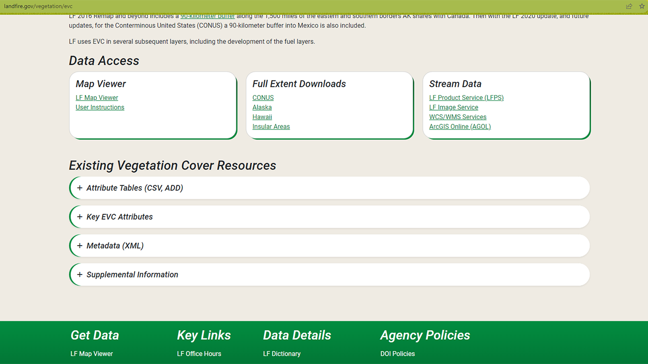
The Existing Vegetation Cover data is included in the Vegetation section of the LANDFIRE Program Website on the Existing Vegetation Cover page.
On that page you will find an overview, including the information above along with further details and links to other important documents. Perhaps of most interest are the download links - via the LANDFIRE Map Viewer, full extent downloads, and a variety of ways to stream data into your maps. The page also includes resources such as attribute tables, metadata, and supplemental information.
In a later section of this site, you will learn more about the differences between these download methods and how to access data via each method.
Screenshot of Data Access and Resources on the Existing Vegetation Cover page
Some uses for Existing Vegetation Cover data
Landscape Assessments
LANDFIRE often uses EVC in combination with EVT and Existing Vegetation Height (EVH) to better understand landscapes using something we call landscape assessments. We will have a later section of this website specifically dedicated to how we create landscape assessments using GIS and R.
Succession Class
EVC, once again in combination with EVT and EVH, is a key component in the way LANDFIRE creates and maps succession class. Through Succession Class, EVC contributes to the calculation of Vegetation Departure and Vegetation Condition Class.
Helpful Resources
Existing Vegetation Cover Attribute Data Dictionary (opens a pdf)
An overview of LANDFIRE in Landscape Assessments on the LANDFIRE Portfolio
Still have questions? LANDFIRE is here to help.
Ask the LANDFIRE Helpdesk (email link).
Search and subscribe to the LANDFIRE YouTube Channel (see tutorials, Office Hours, quick demonstrations).
Join an Office Hour (monthly meeting with open format Q & A with LANDFIRE experts).
Schedule a meeting (email link) with TNC’s LANDFIRE Team.